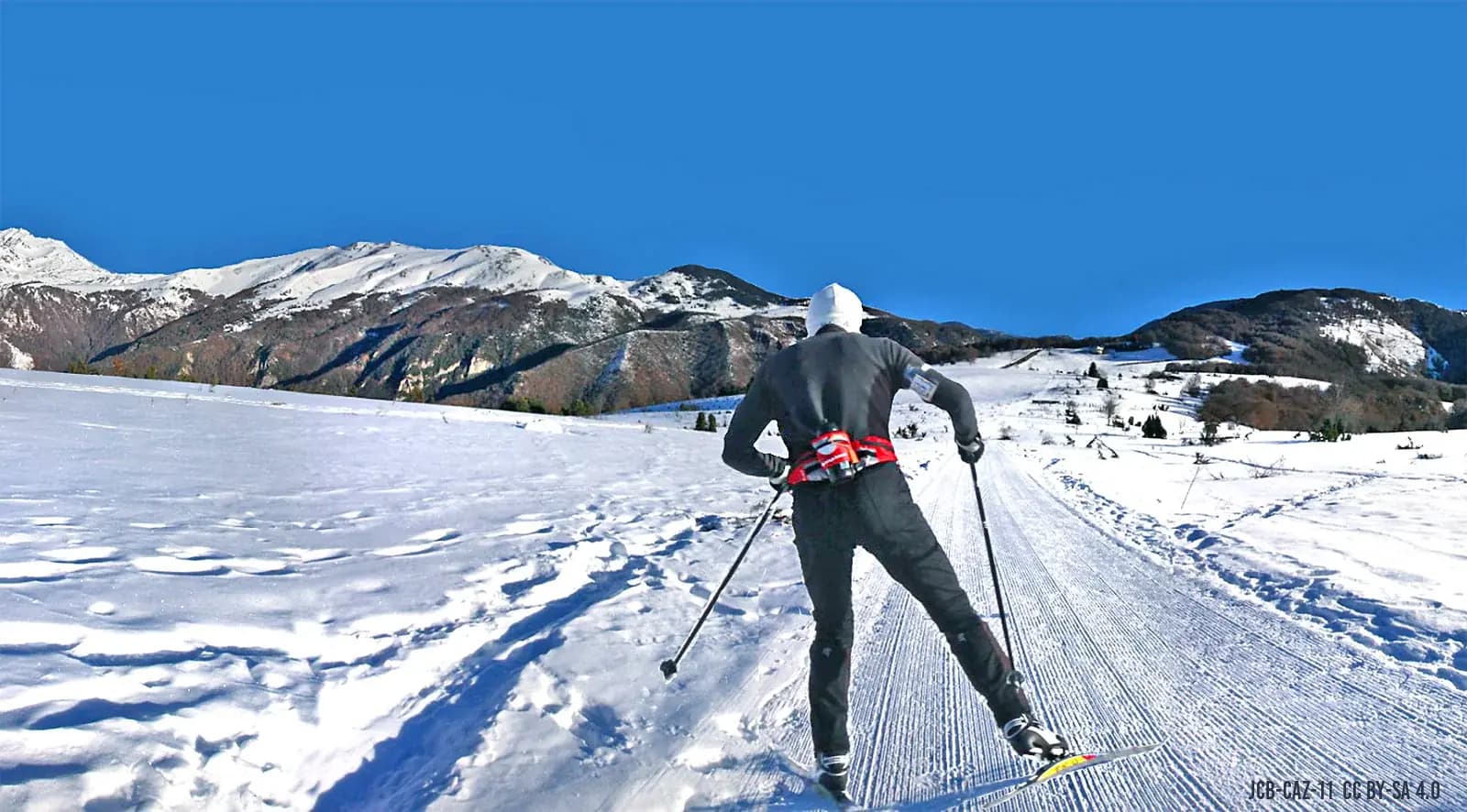
Ariège is arguably the wildest department in the French Pyrenees. No oversized resorts, no crowded trails: deep valleys, hundreds of high-altitude lakes, ridges where you meet more chamois than hikers. Whether you are after a long-distance trek on the GR10, a legendary climb to a mountain refuge or an easy stroll with children, this guide gathers the most beautiful hikes in Ariège, sorted by level and by area — through the eyes of a host who lives here all year round.
Why Ariège is a hiker's paradise
The department boasts more than 1,500 km of waymarked trails, from the foothills to the border ridges. Two major routes cross it: the GR10, the great Pyrenean traverse, which runs through the Couserans and Haute-Ariège from west to east; and the GR107, the famous "chemin des Bonshommes", linking Foix to Berga in Catalonia over some 220 km — the exile route of the last Cathars, peaking at the Portella Blanca (2,517 m). Allow 10 to 13 days to walk it in full, or one day to sample a single stage.
Ariège's other great asset is its tranquillity. The Pyrénées Ariégeoises Regional Natural Park protects an area with one of the lowest population densities in France: even in mid-August, gain a little altitude and you will walk alone among the summer pastures. Add dozens of translucent mountain lakes, spectacular waterfalls and perched castles, and you get a playground many mountain ranges would envy.
Ariège's iconic hikes
The Bassiès lakes and refuge (Vicdessos)
A string of lakes suspended at 1,650 m, a staffed refuge all summer, a grandiose granite cirque: Bassiès is one of the best-loved outings in the Ariège Pyrenees. From the Coumebière car park, the loop via the Port de Saleix covers about 11.4 km with 816 m of ascent. A sure value, detailed in our dedicated guide.
The Ars waterfall (Aulus-les-Bains)
With its 246 m drop in three successive tiers, the Ars waterfall ranks among the finest in the Pyrenees. The classic loop from Aulus-les-Bains covers about 10.5 km with 830 m of climbing, i.e. 4 to 5 hours of walking. The show peaks in May-June, at snowmelt, when the flow is at its strongest.
Montségur castle (Cathar country)
The climb to the pog of Montségur (1,207 m) is short — about thirty minutes from the car park — but steep and steeped in history: this is where the fate of Catharism was sealed in 1244. From the top, the view sweeps over the Saint-Barthélémy massif and the Lauragais plain. Combine it with the village and its museum, about 40 minutes from Domaine de la Trille.
Étang de Lers and the Port de Lers (Couserans)
Between Vicdessos and Massat, Étang de Lers is one of the most accessible of Ariège's mountain lakes: the road climbs right up to it, and an easy trail circles it at the foot of the Pic des Trois Seigneurs. It is the ideal compromise when you want a high-mountain setting without a big day of walking — perfect with children.
For the fittest: Mont Fourcat, Pique d'Estats
- Mont Fourcat (2,001 m): the balcony of the high range above Foix, a local classic in fine weather
- Pique d'Estats (3,143 m): Ariège's highest point, a very long day reserved for seasoned mountaineers, usually from the Vicdessos valley
- The Rabassoles lakes loop or the Bethmale lakes for a change of valley
Easy and family-friendly walks around Mirepoix
This is the area the big hiking portals overlook — yet it is where families most enjoy staying. Around Mirepoix and the Cathar Pyrenees country, the foothill landscapes offer effortless walks, accessible all year round, less than 30 minutes by car from Domaine de la Trille.
- The Lake Montbel loop: the quintessential family walk, along the department's largest body of water, 20 minutes from Mirepoix
- The greenway between Mirepoix and Lavelanet: a converted former railway line, flat and safe, ideal on foot or by bike with young children
- Camon, listed among the most beautiful villages in France, and its paths between hills and rose orchards
- Roquefixade: a short climb to the ruins of the Cathar castle, with a superb view of the range
- The country lanes around Sainte-Foi and the Mirepoix area, starting right from the gîte
Which hike for which level?
- Beginners and families: Lake Montbel loop, Étang de Lers, Mirepoix-Lavelanet greenway, Roquefixade
- Regular walkers: Montségur then the ridge towards the Roc de la Gourgue, Ars waterfall, Bassiès lakes
- Experienced mountaineers: Mont Fourcat, Pique Rouge de Bassiès, a stage of the GR10 or GR107
- Trekkers: chemin des Bonshommes (GR107) over 2 to 13 days, GR10 through the Couserans
Practical advice: seasons, gear, safety
In Ariège, the high-mountain hiking season runs from June to October; in the foothills, you can walk all year round. In summer, set off early: heat storms often break out in mid-afternoon over the peaks. Always carry plenty of water (springs are not guaranteed), a warm layer and rain protection, even in fine weather — mountain weather changes fast.
- High-cut hiking boots for altitude trails, trainers are fine in the foothills
- IGN Top 25 maps or a GPS app with offline maps (network coverage is poor in the valleys)
- Check the mountain forecast the day before and the same morning
- During the hunting season (autumn), stay on waymarked trails
- Respect summer pastures and herds: keep dogs on a lead, close gates behind you
The right base camp
Your base camp makes all the difference: staying in the foothills, on the Mirepoix side, puts you 20 minutes from Lake Montbel, 40 minutes from Montségur, about 1 hour from Foix and the first high valleys — and in the evening you enjoy the mild hills, the markets and the villages. From Domaine de la Trille, in Sainte-Foi, every valley is an hour or so away: a new landscape every day without changing accommodation.